Between the 1950s and the 1990s, the United States Geological Survey undertook the massive task of surveying the entire United States, producing over 55,000 topographic maps. These maps attempted to provide a comprehensive record of United States land, and as a small part of this effort, they attempted to reproduce the locations of mines, mine shafts, and quarries as shown in previous USGS maps, but they did not conduct thorough surveys for these details specifically. Consequently, many of these mines, mine shafts, and quarries have been lost to time. They have no names, and potentially no records. But if you look closely, you may be able to spot the lost roads that once belonged to these sites, over which were transported the materials and hopes of dreams.
For me, it all started about 11 or 12 years ago, when a friend invited me camping and jeeping with his church group July 4th weekend. As the jeeps traveled up the jagged road, I saw for the first time old cabins on the far side of the valley, ruins near the tops of mountains, posts that hinted at the things that were. I saw dark spots on the mountains, and discolored red sifting down the mountainsides, like ochre at the graves of our ancestors. “Wouldn’t those be fun to explore?!” I wondered. A few years later, I made my first solo trip back there, desperate to leave my fears behind, to escape the television world I grew up in. I have returned to that valley some 15-20 times since, and each time I learn something new.
This time was special. This time I was spending the night to search for a lost road. A road that appears in the 1938 and 1944 topographic maps for this region, but which is completely missing from every map produced since. It’s a ghost, a tired anomaly. A phantom from a bygone era. There is only one true way to reach it.
And I know the way.
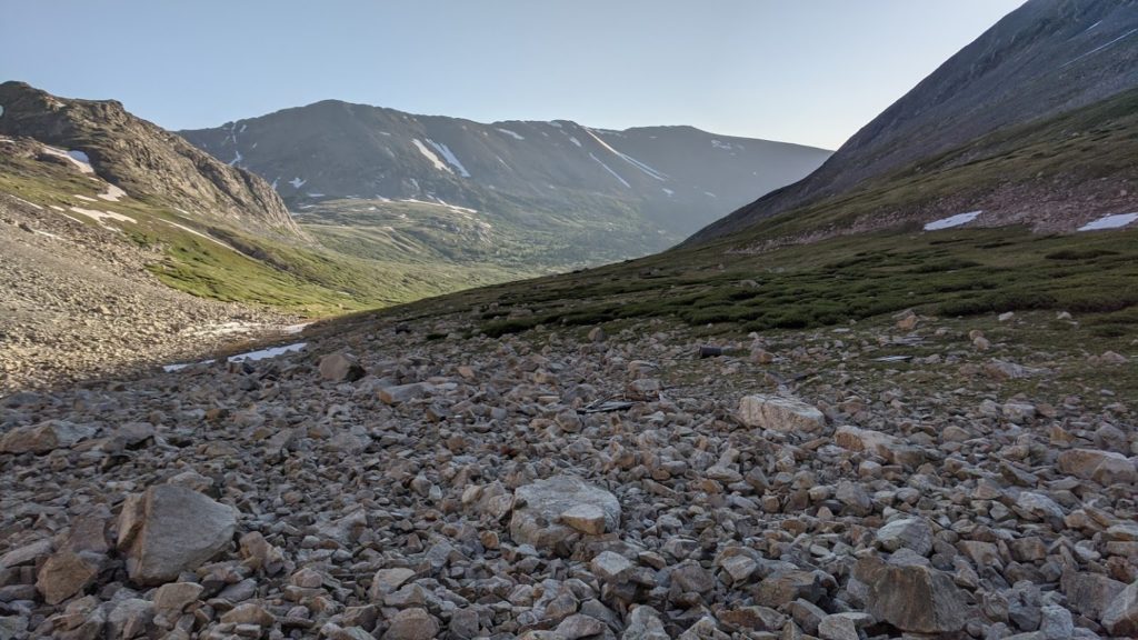
It was not an easy way to find. The valley is overgrown with brush, tall as a man in most places. The original way across the waters is inaccessible: you can’t even see where it once existed. But farther up – yes, much farther up the valley, there is a small path, through the lowly brush, down a very steep, grassy hill.
You follow the bushes, from one solid footing to the next, slowly, so you don’t get yourself killed. Across the water gash, in the middling where it flattens out and you can step across the rocks, off to the other side, below the steeper hill, down farther, and to the Great Rock that marks the way. You push yourself through the rill path and come out below near the fluvius, where you wind your way up, deeper into the valley. Several deer and elk see you from afar, and hurry away. And there you find the cabin, bent by the will of the mountains. The final hill gazes up into solid stone cliffs before it levels off and leads into the bowels of the gulch.
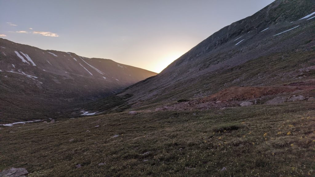
It is here I setup camp, below the boulder I found the last time. Long ago, a piece of rock broke off from it, creating a perfect foothold to get to the top, from which you can look out across much of the gulch. I wonder if those before me used this very rock to look out across the valley. The sun goes down, and the moon comes out, filling the whole valley with its light.
I do not sleep well.
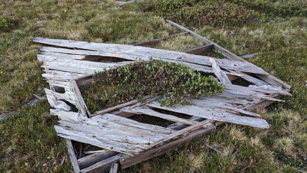
Early the next morning, the sun rises through the valley. I head up gulch to kick around, and discover the ruins of a very flattened building. I hadn’t imagined there was more back here. I return for my pack, and set out to explore the path I once vaguely suspected I could see in the gulch proper.
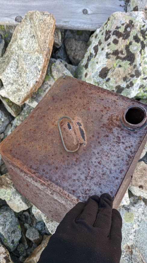
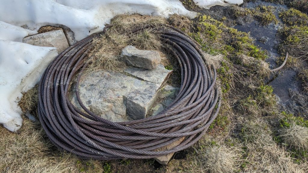
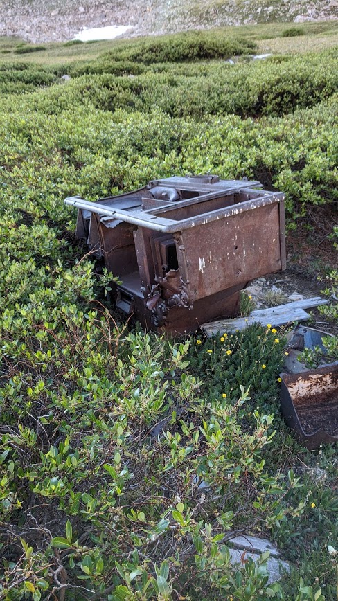
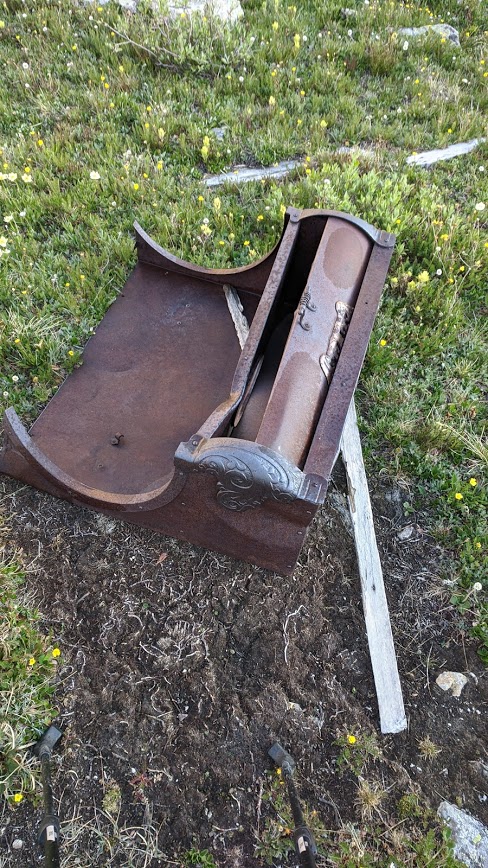
I find many ruins along the way.
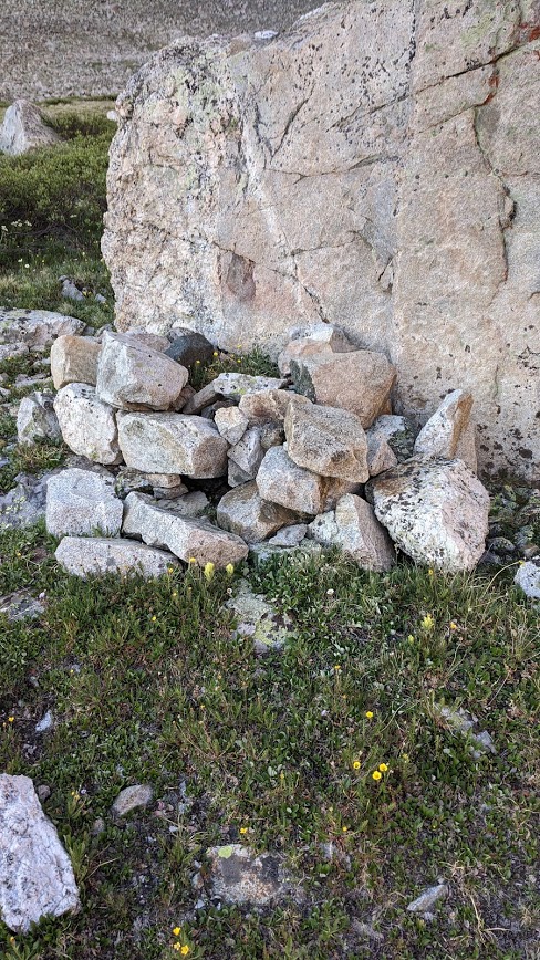
I find an odd pile of rocks beneath a boulder. It strikes me. It’s odd. I don’t know what to think of it. I wonder if it’s a grave. But surely the other rocks would have been moved? Perhaps it is a pile, a substitute grave. The piles made for men who can’t be recovered. Will they make a pile for me when I am no longer recoverable?
I keep my distance. I pay my respects. But with what, I don’t know.
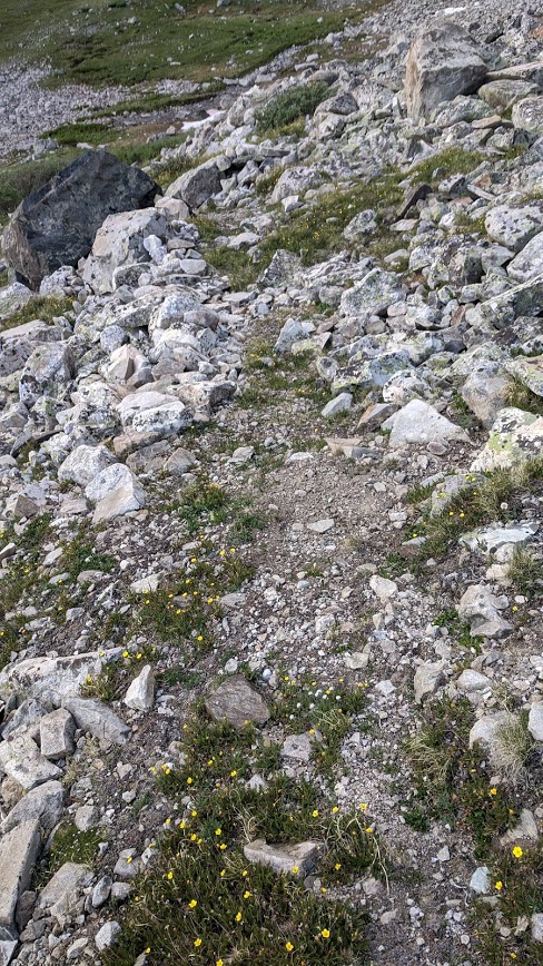
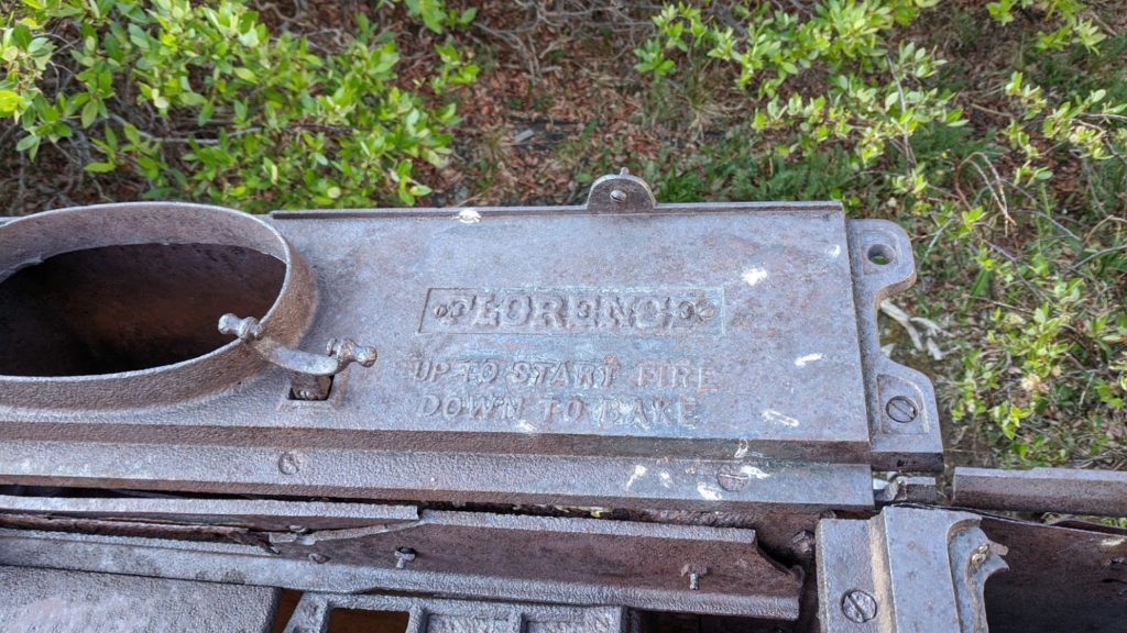
One thing I’ve learned in searching for ruins, is that if it looks man-made, it probably is. It’s almost always worth investigating. And this was very much the case when I discovered the road going to the mine.
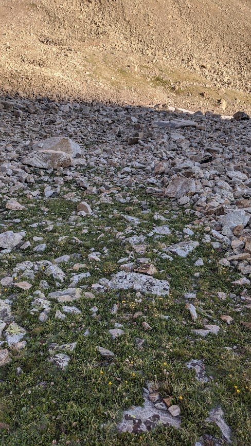
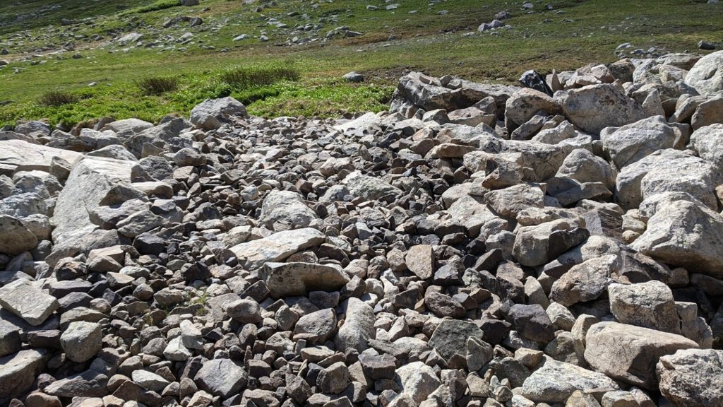
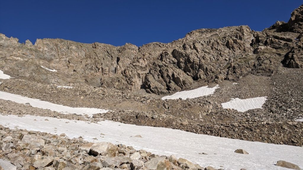
The rocks had been moved aside. The space in the middle was flat enough to see. It went straight, and then through the edge of a snowfield, then up, along the left side of the hill, then around. In some areas, it was so distinct and sunken that spiders had setup webs among the talus from one side of the road to the other, and many, very effectively.
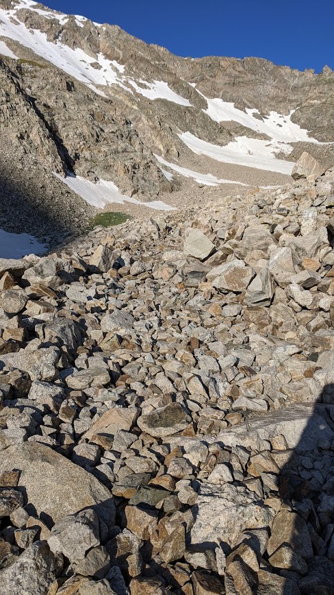
But the talus was freaky. You could hear the crush of rocks echo below, and in some spots, you could hear the water flowing underneath. I knew it had to have been a larger operation, judging by the five or six bed frames I had seen, but only tiny hints told me I was on the right path. High up enough, and beginning to struggle on the talus, I realized that far greater than my desire to see the mine was my need to live to explore another day. Not wishing to join the dead, I headed back down.
Almost as a reward for my decision, I accidentally lost the road a bit and found my very first mining shovel!
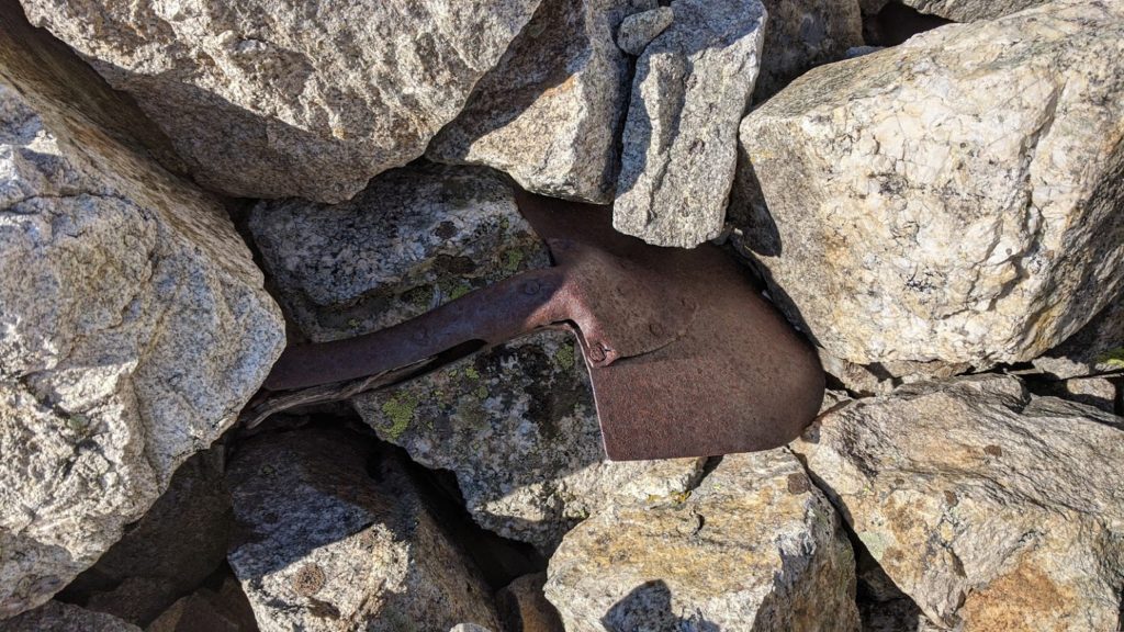
Most of these have been carried away as tokens, relics, possibly rotting in basements now, or new abandoned houses. Don’t be that person. Don’t ruin it for the future.
I did more exploring that day, yes. There are other paths, and other roads. But not all roads need to be shared.
I asked myself, “But what is it we can actually hope to learn from the past?” The men who worked this valley…they’re all dead now. Their hopes, their dreams. Gone. You hope they loved their parents, and their parents loved them. You hope they loved their kids, and their kids loved them.
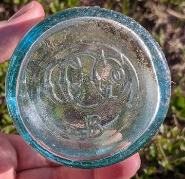
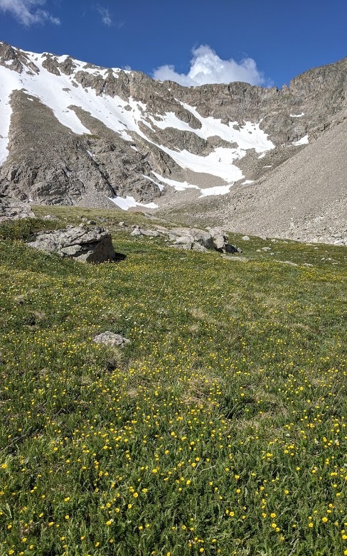
I hope the guy who left the Budweiser bottle enjoyed it. I hope the beds were comfy, and the food good. I hope they lived good lives. And yeah. I hope they knew God, and saw Him in the fields of flowers on the mountainside, in the sunshine, and in the imposing greatness of the cliffs.
And then it was just me.
As I turned back onto 285 after leaving the valley, I got a soda from the gas station. And I got a huge meal from Wendy’s before I got home. And my bed at home was comfy. And I saw God in the flowers on the mountainside, in the sunshine, and in the imposing greatness of the cliffs.
It was a good trip, it really was. And I hope to find more lost roads. It’s amazing to realize I can do this now. Long ago, it was merely a dream.